Consultez les statistiques des visiteurs sur les plus d'un milliard d'itinéraires parcourus sur AllTrails.
Gestion des itinéraires
Développer l'expérience du randonneur
Proposez des informations fiables et précises grâce à l'application d'exploration du plein air la plus utilisée au monde.
Liens sociaux
Atteindre votre public
Assurez-vous que les visiteurs savent à quoi s'attendre sur et en dehors de l'itinéraire.
Découvrez comment nous soutenons les loisirs responsables
Atteindre les utilisateurs avant qu'ils ne partent sur les sentiers
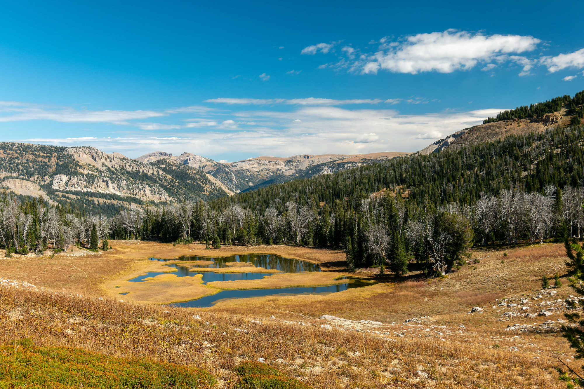
Sensibiliser efficacement les visiteurs à une pratique sûre et responsable des loisirs de plein air dans la forêt nationale de Bridger-Teton en association avec nos partenaires à but non lucratif.


![TRGT_seal[768]](https://publiclands.alltrails.com/hs-fs/hubfs/Partner%20Logos/TRGT_seal%5B768%5D.jpg?width=750&height=750&name=TRGT_seal%5B768%5D.jpg)