Engage with the world's largest trail community
Powerful tools for better trails
The Public Lands program is a free resource for agencies and non-profit organizations that helps partners:
-
Understand how visitors use your trails
-
Manage trail information to help your visitors recreate responsibly
-
Connect with AllTrails' 90 million+ users and share up-to-date alerts
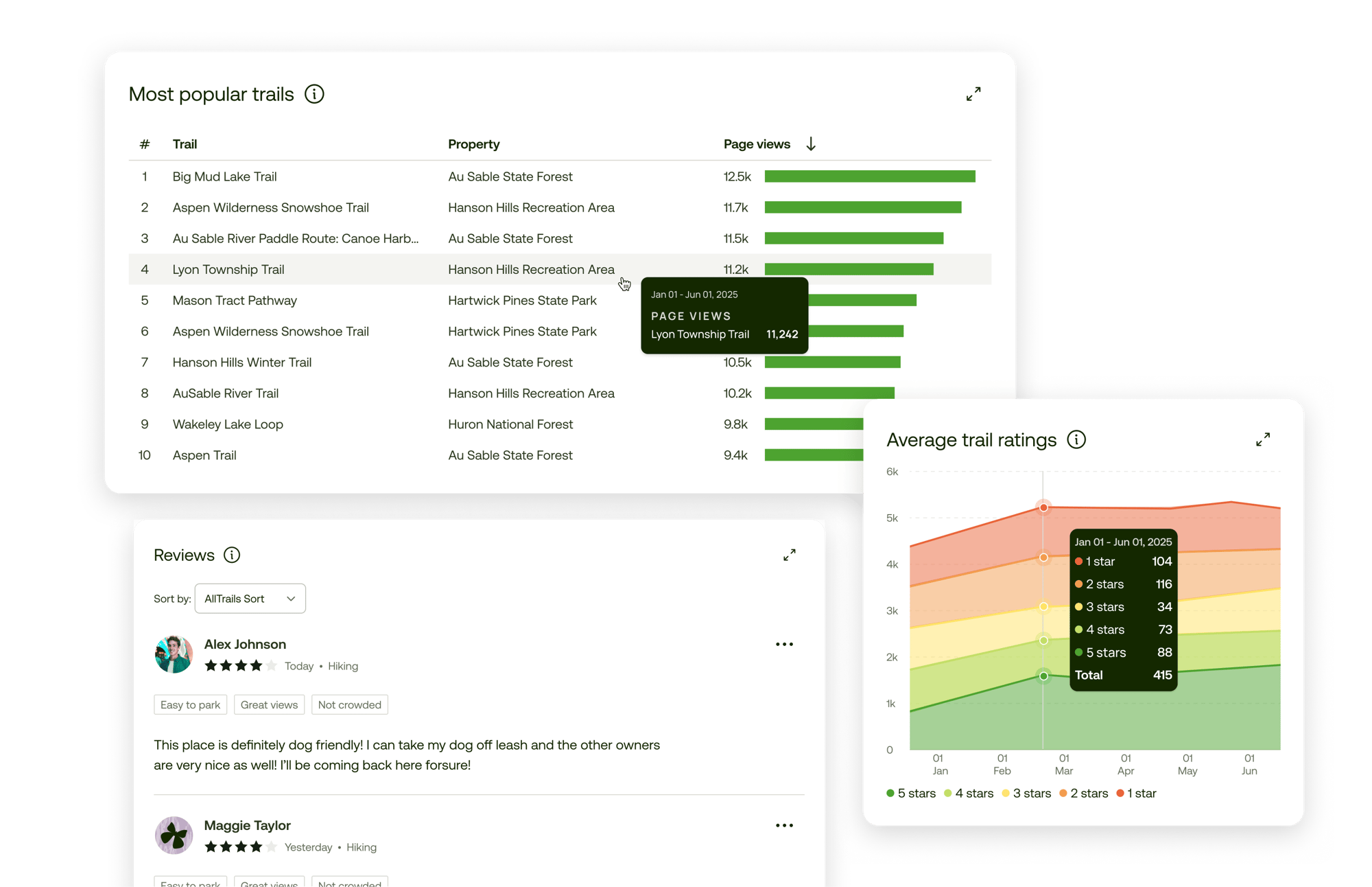
Access visitor insights
Review visitor stats from the 1 billion+ navigated miles on AllTrails
-
Understand how users are interacting with trail information
-
Monitor trends that help with planning and preparation
-
Advocate for needed resources and improvements with data
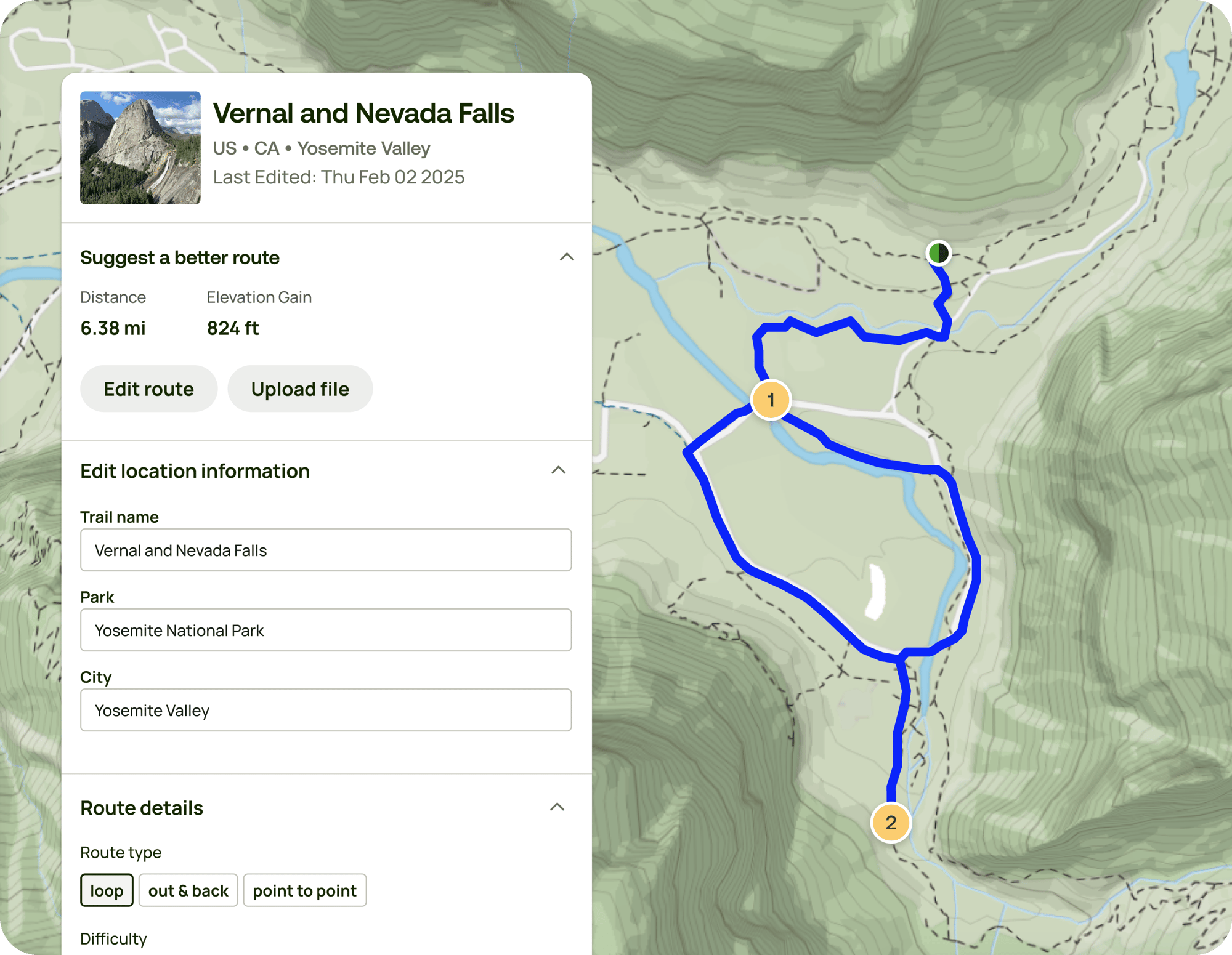
Curate the trail-goer experience
Maintain reliable and accurate info on the most-used trail app in the world
-
Manage route lines, starting points, and parking locations
-
Communicate rules, regulations, and route recommendations
-
Prepare visitors for a great day on the trail
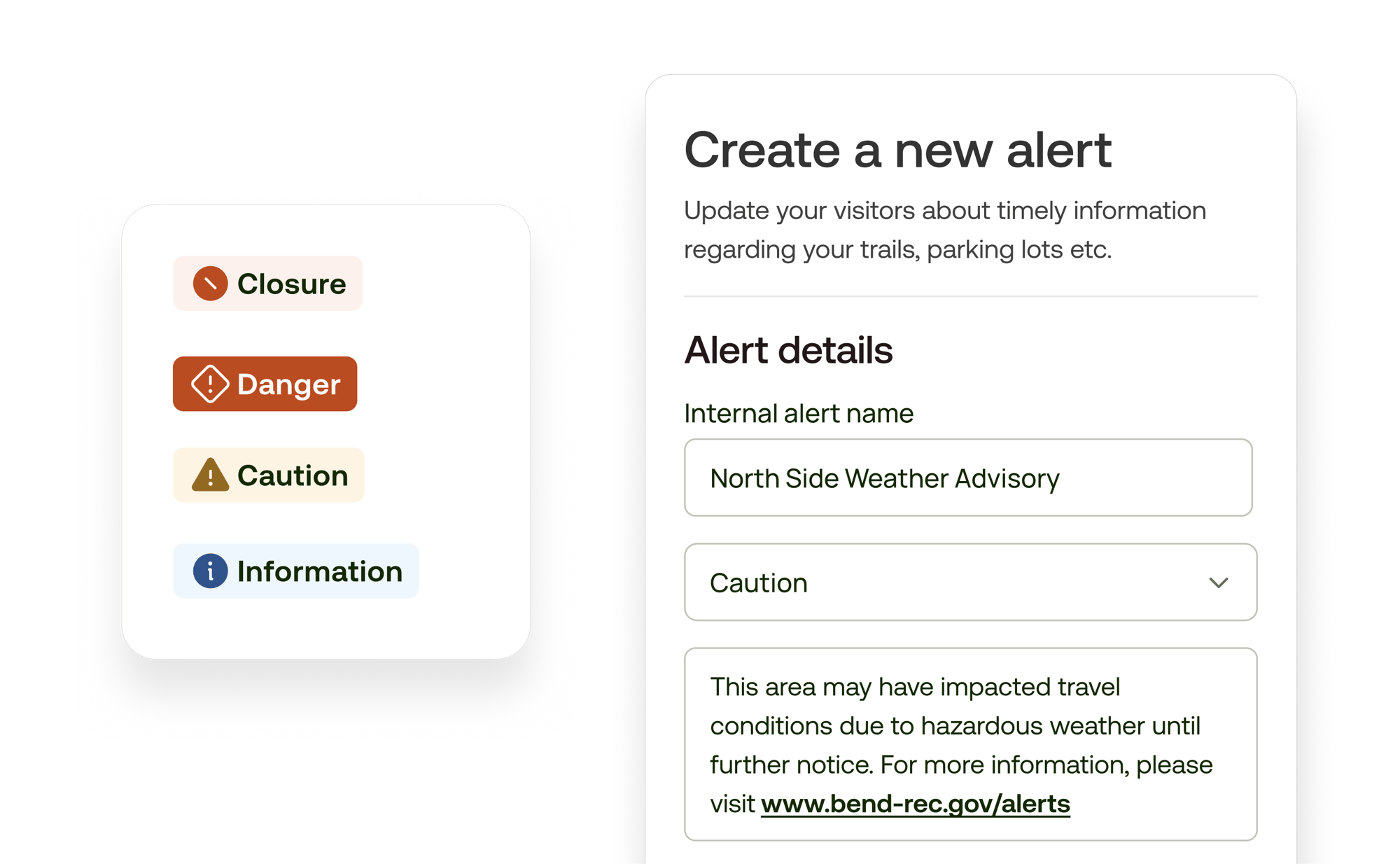
Reach your audience
Ensure visitors know what to expect on and off the trail
-
Prioritize the information you want visitors to see first
-
Communicate real-time trail conditions and local knowledge
-
Reduce search and rescue incidents with up-to-date closures, warnings, and alerts
Learn how we’re supporting responsible recreation
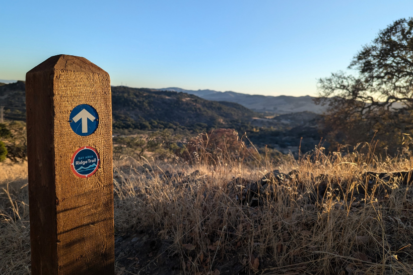
Simplifying planning and navigation with trusted online trail resources
Bay Area Ridge Trail is able to provide essential, at-a-glance information to visitors before they hit the trails to ensure a fun and enjoyable trail experience.

Funding accessibility with verified trail traffic data
Saginaw Basin Land Conservancy reviewed AllTrails visitor usage data to secure funding to build an accessible boardwalk trail.
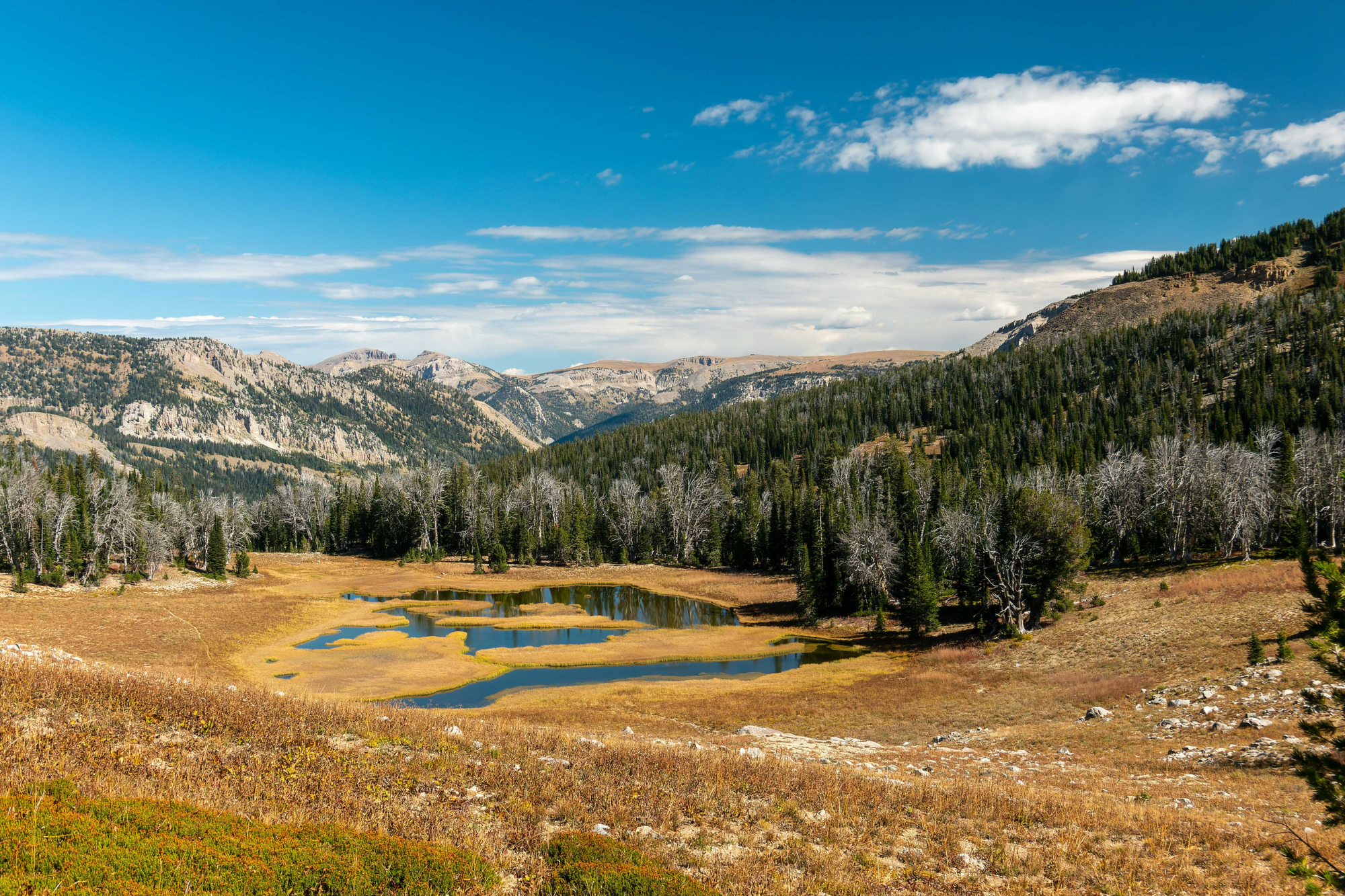
Reach users before they hit the trails
Friends of the Bridger-Teton helped efficiently educate visitors to the National Forest.
Partner with AllTrails
Let’s work together to help everyone learn to be responsible, prepared stewards of the lands they visit.
.png?width=307&height=240&name=FBT_Logo_BW_360(2).png)

%20(1).png?width=541&height=600&name=Logo_of_the_United_States_Forest_Service.svg%20(2)%20(1).png)

![TRGT_seal[768]](https://publiclands.alltrails.com/hs-fs/hubfs/Partner%20Logos/TRGT_seal%5B768%5D.jpg?width=750&height=750&name=TRGT_seal%5B768%5D.jpg)
Frequently asked questions
Who should join the Public Lands Program?
Land managers, non-profits, or advocacy groups that either own or have an agreement to manage trail systems.
Is it really free?
Yes, it is free! We are committed to supporting the safety, preservation, and improvement of the visitor experience.
When partnering with AllTrails, we will provide the portal tools free of charge and work towards opportunities to reach more trail visitors.
Are there any contracts or agreements I should know about?
There are no contracts at all. We want you to have the flexibility to do what’s best for your organization and community and are always looking for opportunities to partner together to reach more trail visitors.